I tried to import 3D drawings from AutoCAD with global coordinates as DXF files! The first problem arises after importing the DXF file into my Blender Scene, as the objects (Vertexes and Edges) are placed according to their global coordinates (for example: X/Y/Z = 310919m/ 5691510m/ 110.95m).
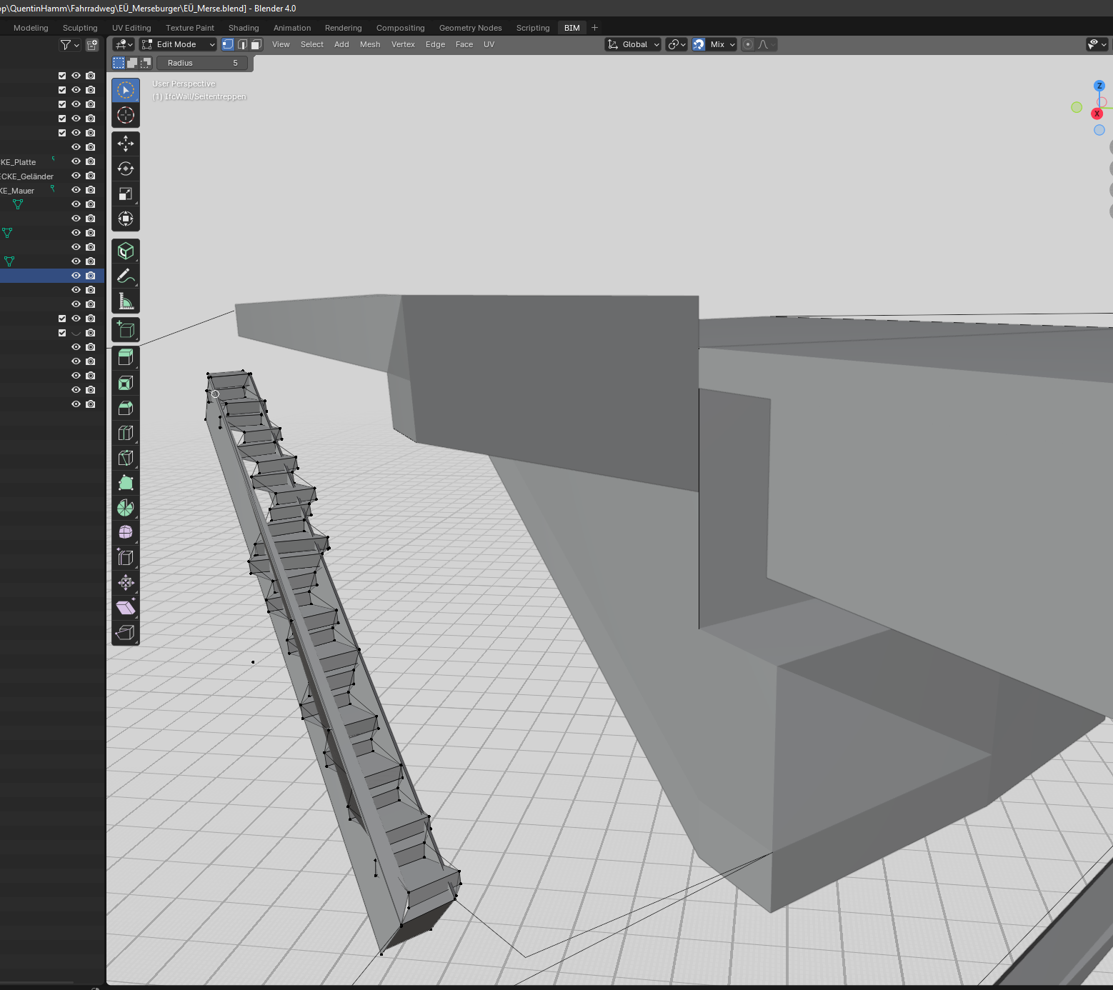
When working with them, I quickly encounter problems and bugs when creating faces, applying subdivisions, etc. The resulting faces then appear very fragmented!
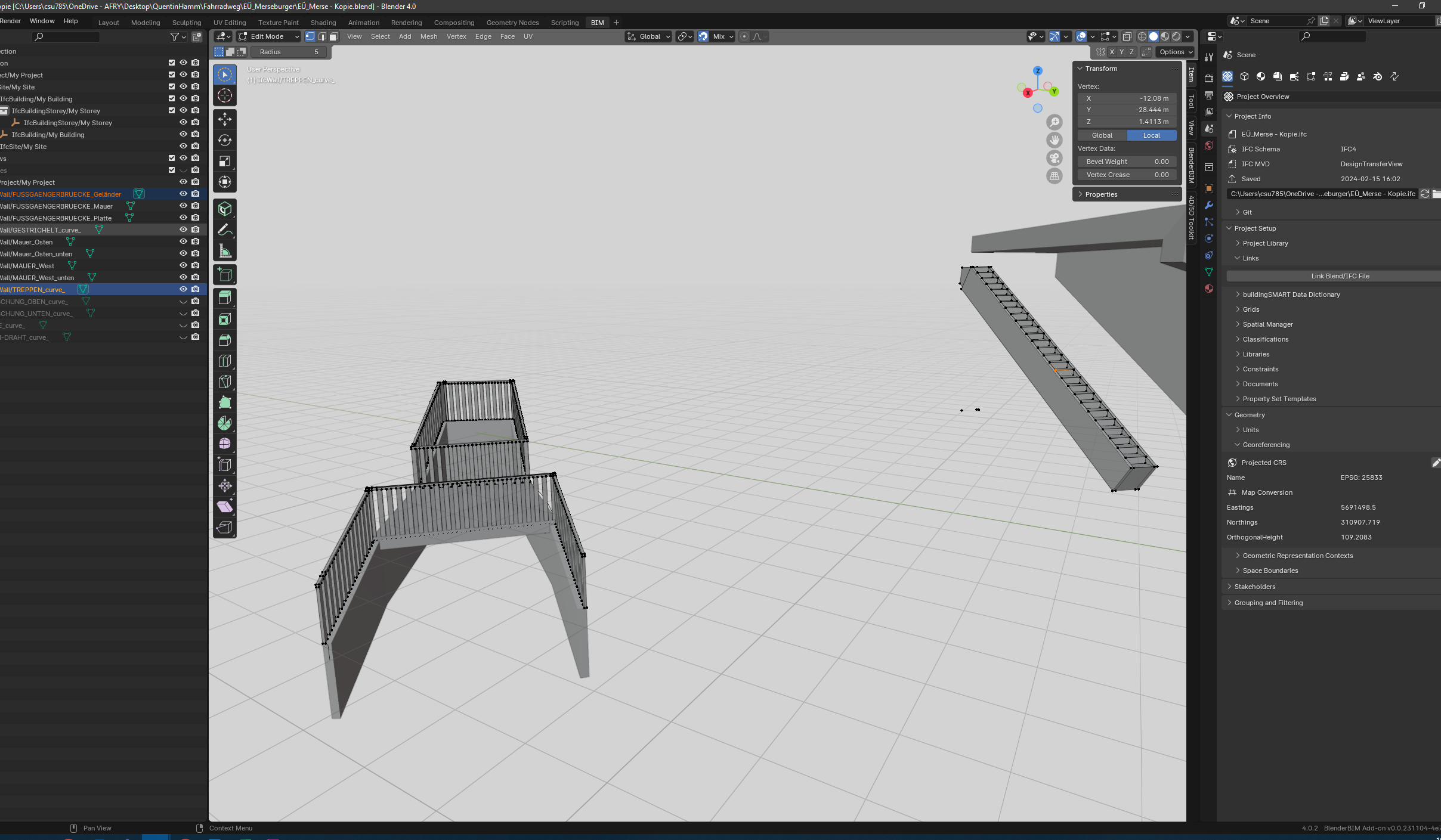
Assuming that Blender has an issue with large coordinates, I moved my project to its origin and noted the displacement vector (Delta X, Y, Z). There, I could use all Blender tools as usual and modeled my bridge without any problems. However, when I try to export my project as an IFC file to check the position my DTM (Digital Terrain Model) using BimCollab, I encounter the problem that I cannot account for the displacement of my model anywhere!
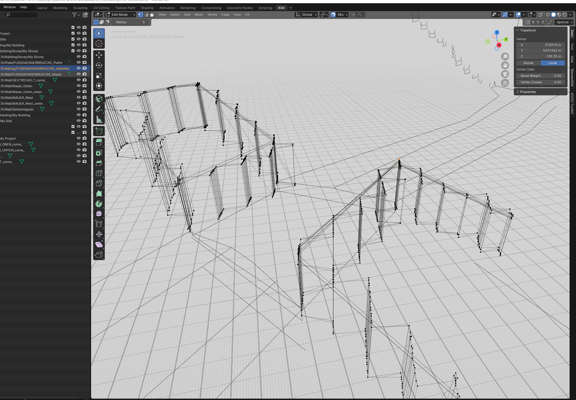
If I move the model back to its original position using the vector before exporting it in Blender, the model ends up in the correct position in the viewer, some of the geometries are distorted heavily! This means that the model cannot be in its global position during export.
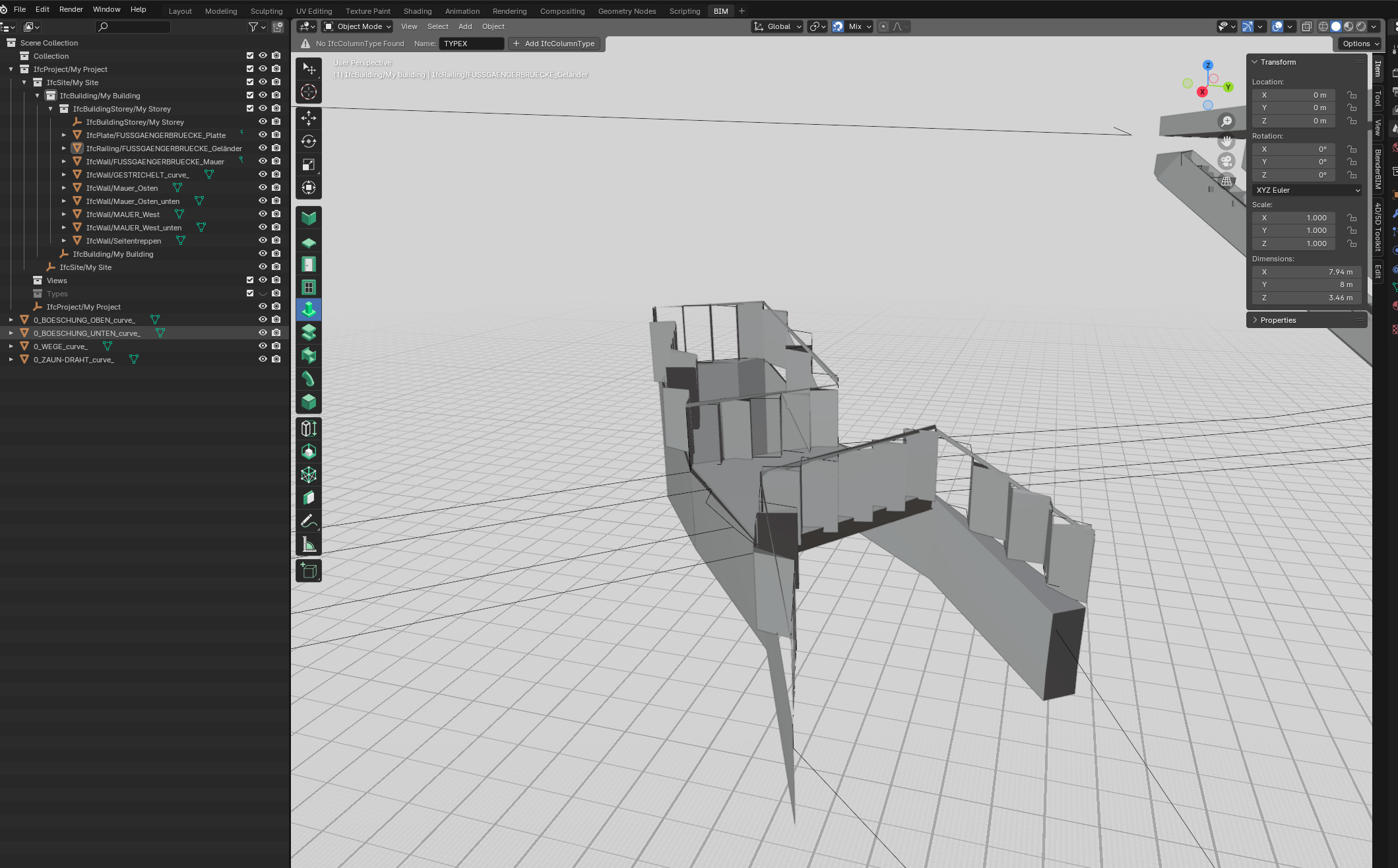
All my attempts to experiment with BlenderBIM's georeferencing tool have led to no result. In the end, the model was always placed completely incorrectly!
I appreciate any ideas, help, or suggestions. Perhaps there is a way to move my model back to its original position in another program? The main thing is to preserve the geometry intact including the correct coordinates
!