hi @steverugi thankyou for showing your works. mine's same. converted from DWG and now im start quantifying.
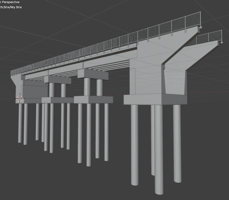
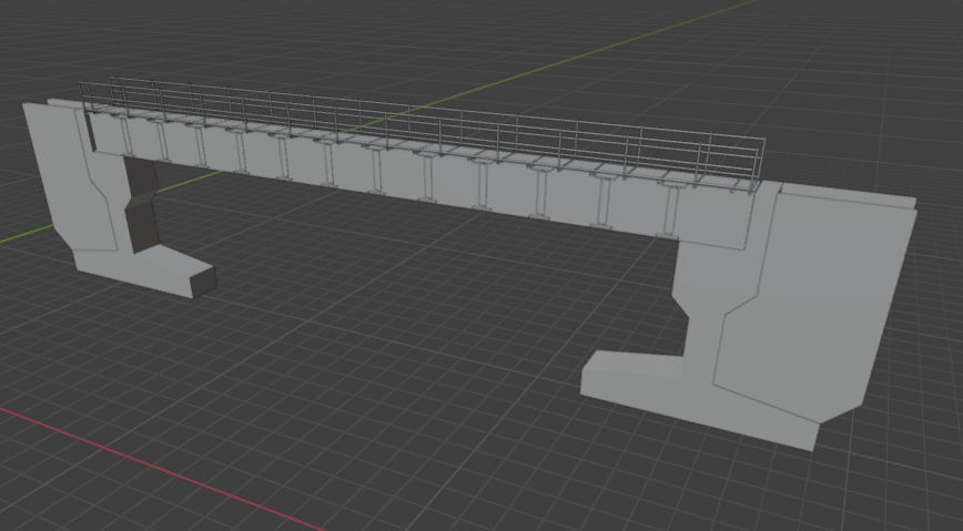
here's my model

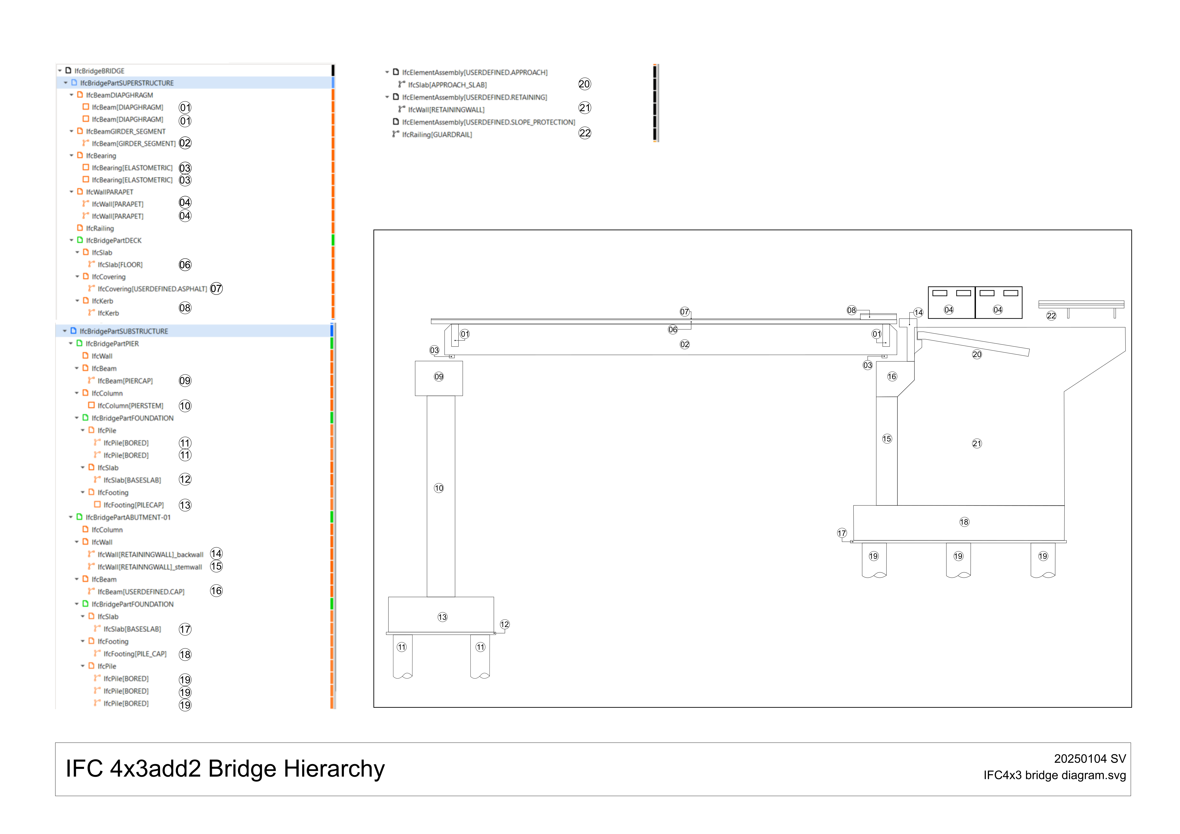
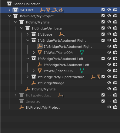
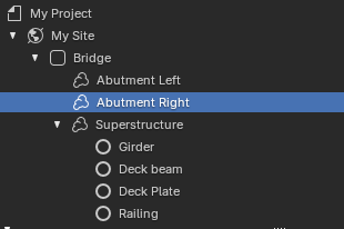
here's the hierarchy, i try to follow yours but maybe not exactly same

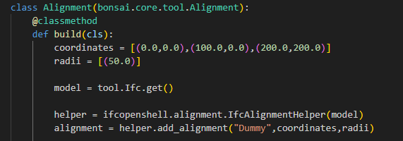
i still dont understand how to utilize IfcAlignment to generate "corridor" along the alignment. can you, or is there anyone can explain how to do that?
@FraJoMen said:
Hello everyone,
I've been exploring OpenBIM for infrastructure and recently came across Bonsai. From what I understand, it is a powerful tool, but I was wondering:
- Can Bonsai be effectively used for infrastructure projects (e.g., roads, pipelines, bridges, tunnels)?
- Are there any examples or workflows where Bonsai has been applied in this context?
I have a good background in Python programming and would love to start contributing or extending its functionality. What are the best first steps to dive into the source code and development?
Looking forward to insights from the community. Thanks in advance!
Best regards,
Francisco
i think the essensial things for civil modelling is alignment, once you understand the concept you can solved other problem later. since the civil drawing presentation slightly (or maybe significantly) different from architectural drawing, all we can do is make plan, section, and detail for each part. but for long profile, elevation table, chainage (stationing), earthworks, i think it still a long path and maybe we still need at least to use CAD. and as long as i know civil engineering "BIM" using LandXML as the open-standard format. Ifc Has IfcGeographicElement but i dont know how far the implementation in civil works. maybe with your skill you can develop something to accomodate that :)
just my 2 cent. please correct me if im wrong.