T
by tessafk on 12 Mar 2025, edited 31 Mar 2025
#
Hello!
I'm trying to find out whether there's a way to add to an ifc project made in Bonsai all the information that the Finnish government and the National Land Survey will require from all the projects submitted from 2026 onward. Has anyone yet modeled with Bonsai a plot with all its GEO properties (elevations , topographic elements etc)? If yes, I'd love to know what your workflow has been. Also, is there a way to import official maps into Bonsai/Blender?
Thank you so much as usual, you guys are all so very helpful! :)
S
by Samppa on 20 Mar 2025
#
Hi, for which branch of construction you plan to create Ifc?
T
by tessafk on 26 Mar 2025
#
Hi! The idea is to be able to submit the ifc plan of the building plus the plot with its elevations to the system to get the permit to build..
J
by JanF on 27 Mar 2025
#
+1 votes
Do you have an example you can share? This doesn't sound difficult. I use
-
blendergis to set up geolocation and import shp maps
-
cloudcompare to create meshes from las scans and import as obj
-
Sverchok to generate contours
-
Bonsai to turn it all to ifc elements
J
by John on 28 Mar 2025
#
@JanF would greatly appreciate your workflow on > @JanF said:
- blendergis to set up geolocation and import shp maps
S
by Samppa on 28 Mar 2025
#
+5 votes
@JanF said:
Do you have an example you can share? This doesn't sound difficult. I use
- blendergis to set up geolocation and import shp maps
- cloudcompare to create meshes from las scans and import as obj
- Sverchok to generate contours
- Bonsai to turn it all to ifc elements
This screams for youtube tutorial!
T
by tessafk on 31 Mar 2025
#
@JanF
This is a project made with the traditional Blender tecniques, but yes basically I would need to create the same plot but IFC, with the right coordinates, elevations etc.
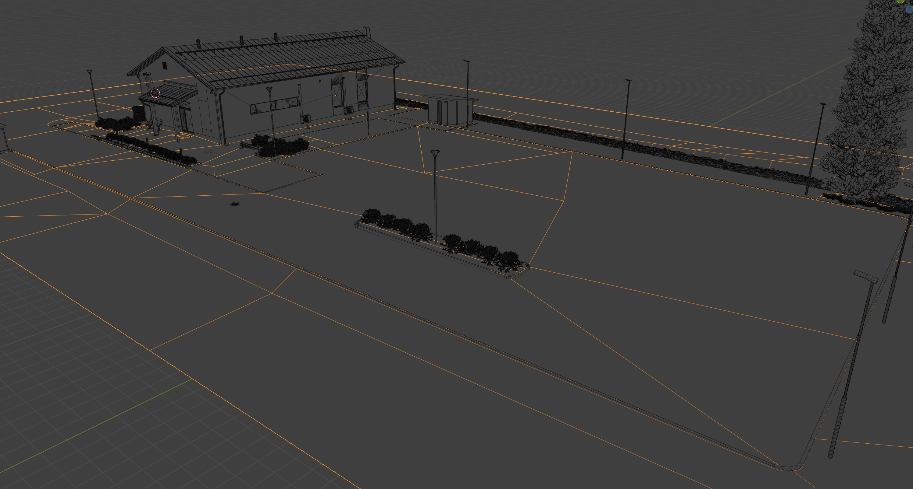
A tutorial would actually really be amazing!
S
by steverugi on 31 Mar 2025
#
+2 votes
@JanF
Do you have an example you can share? This doesn't sound difficult. I use
...
- blendergis to set up geolocation and import shp maps
- cloudcompare to create meshes from las scans and import as obj
- Sverchok to generate contours
- Bonsai to turn it all to ifc elements
"nothing is difficult, especially when you know what it is and how to do it"