OSArch Community

Blender offset coordinates

  1. A

    Hello, when I move an object far from origin about 1000 meters and when I save and open that file the object lost its position in 3D viewport and get extra line in the Placement panel.

    Is it desired behavior? Is it possible to see the actual position of the object in 3D space?

  1. R

    Hi Alexander, if you want.

    You can make a short clip using "ShareX" this will show your process and then it will be easy to advise if it is desired behavior.

  1. A
  1. R

    Sorry to be a pain but using a GIF file is easier. You don’t have to download the video to see what is going on.

    It is very interesting what you have noted there. I have not seen it before.

    Attached is a screenshot where I got the same results, I just used "g" and "y" or "g" and "x" to move the elemenents.

    Using Blender 4.4 and Bonsai 250421, don’t think it makes a difference.

    I don’t know what to say I don't see an issue, hope you get a response from someone with a better understanding.

  1. P

    Today I have the same kind of issue. Opened a new file, linked the huge project georeferenceed, I grab some objects from my linked file. After save and reopen the IFC file with the "stolen" objects, the objects have the blender offset instead of the global coordinates - they are in the 0,0,0 now, and the file has georeference info at the origin. I believe the file inherit the georeference proprieties of the linked project (I didn't have the time to check ) I just noticed that the georeferencing info at the origin has been populated and I didn't do anything. That said I believe maybe some developer ( @Moult ?) can clarify if is intended or a bug...

  1. R

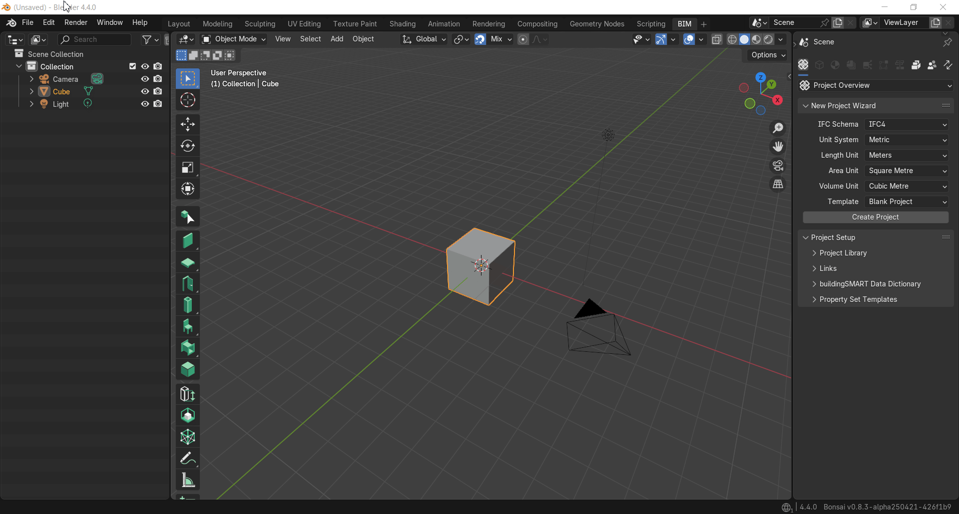
    I am using Blender 4.4 and Bonsai 250421

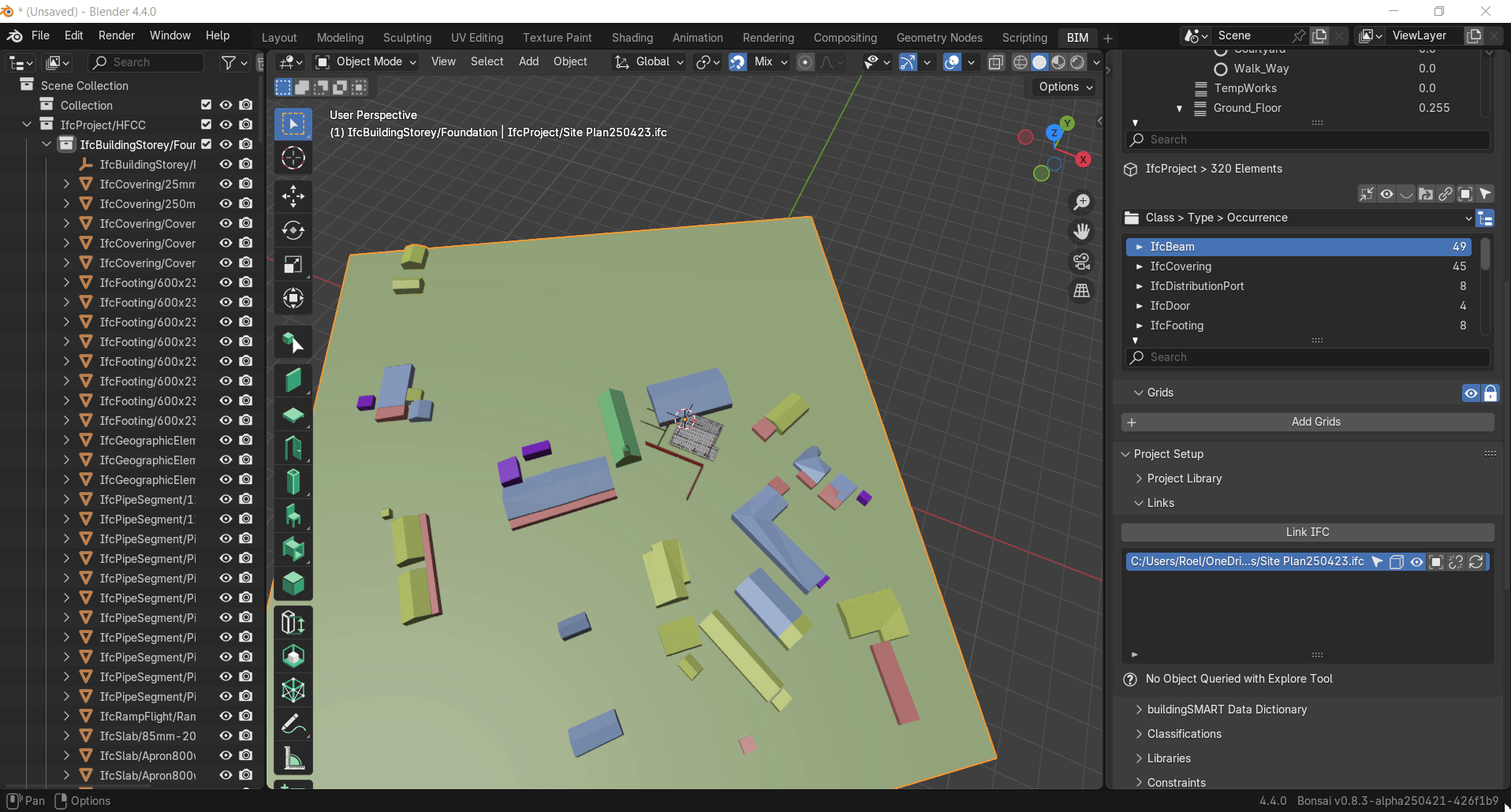
    I tried to link two models, I changed the Georeferenced of the “Site Plan” to get the correct location for the “new build”, but it looks as if the Georeferenced is not recognized when linking the “Site Plan” model to the “new build” model.

    Also is a screenshot of visualisation change in the Georeferenced “Size”, is this to correct the scale (1 = 10) if Size =10, my opinion is it is not users friendly, can’t the “Size” relate to the visual text size only and then have a new “Scale/ratio” option for the mm=>m or other dimension calculation for the Georeferenced value calculation? .

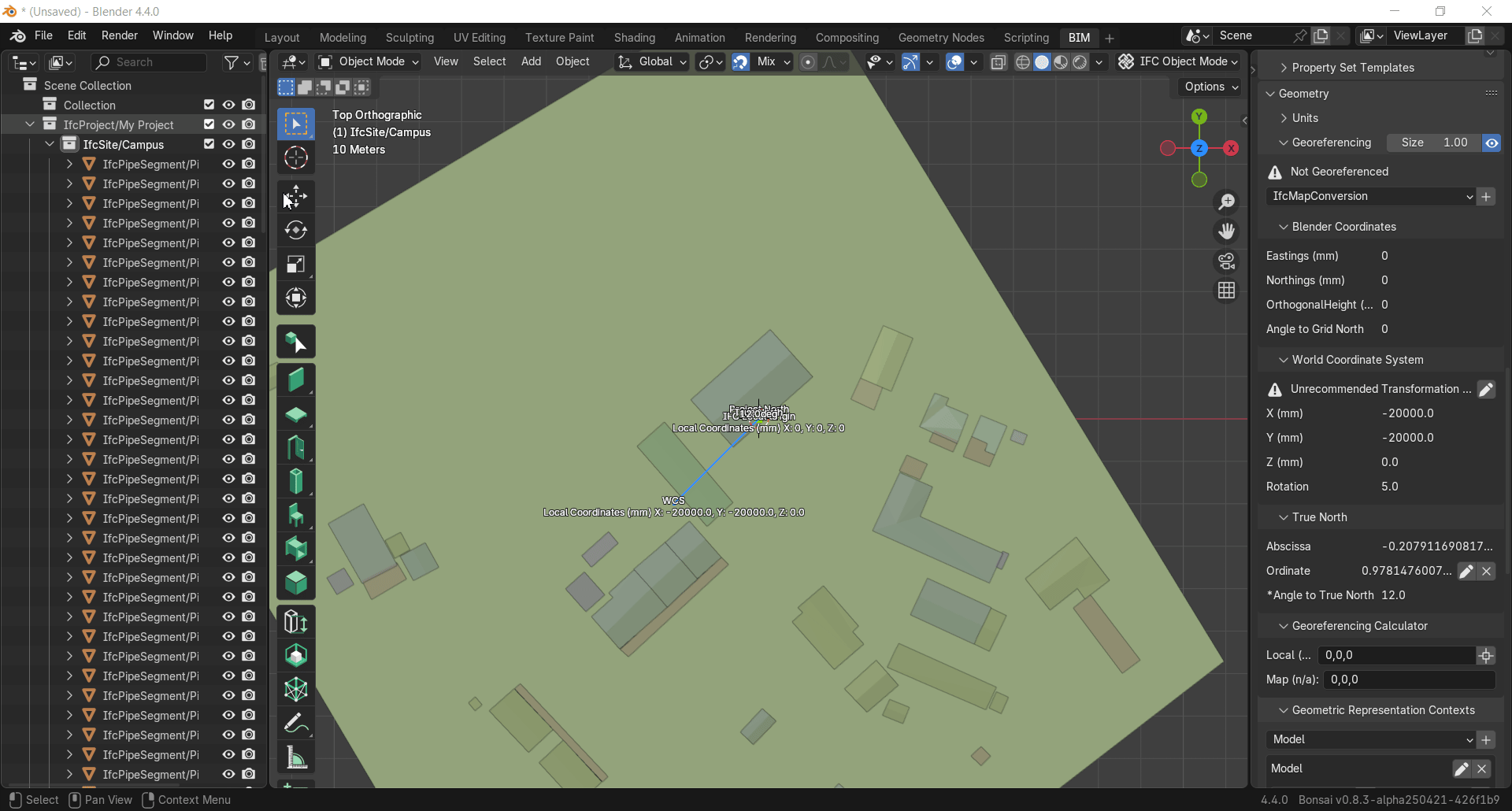
    .The reason why my “Site model” didn’t change location relative to the “new build” is because I did not add/activate “ifcmapconversion” in both models and ensured that the “scale” value was also entered for both models. Entering a value in the "World Coordination System" as per the 2nd clip does not work when linking files/models. Not sure what the function of entering values in "World Coordination System" would be in relation to clip 2.

Login or Register to reply.