M
by magicalcloud_75 on 7 Dec 2020, edited 26 Dec 2020#
Hi
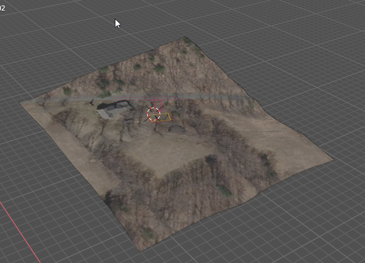
I have made a TIN surfaces with a image in DWG CAD. Unfortunately this can not be exported to FBX with incorporated image. I need a FBX file this way as import in Revizto. Blender probably can handle draped image and export it much better. So with a image definition in the file. Is that possible? I tried a few things but i was not able to use the shrink wrap modifier correct.
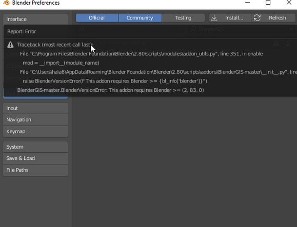
blenderGIS gives me an error. I run v.2.80. Had trouble getting this to work earlier too. Maybe there is a videp tutorial how this is done. uv mapping is not my daily routine. I am trying to achieve this is other software as wel. Navisworks seems to link the image (links get lost) and exporting form BricsCAD is not working either. I keep trying. Thanks :)
@magicalcloud_75 the error is because you are on an old version of Blender. You need at least 2.83. The latest Blender is 2.91.
I looked at your files briefly and before attempting any UV projection or shrinkwrap, you need to have properly aligned satellite images and meshes. If you're still struggling with this, happy to organise a screenshare session to help.
M
by magicalcloud_75 on 9 Dec 2020, edited 9 Dec 2020#
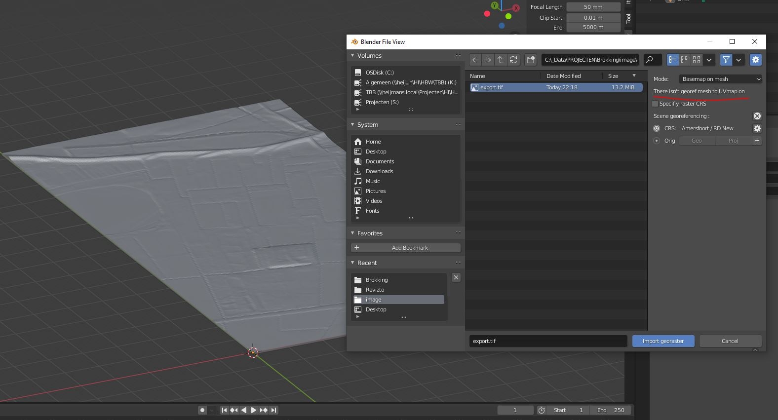
The images i have comes the satellites of google. And the mesh also comes from Qgis geotiff, the ingredients are there (national dutch GIS department). All i need to do is 'bake' them into 1 melted fbx file for use in a VR enviroment. Blender is my last hope because commercial software seem to let me down. Let me just try to install the BlenderGIS addon and see. Thanks sofar. I'll come back later.
If you have both image and mesh then you don't even need blenderGIS, but keep in mind that blender doesn't like georeferenced assets as it is a single precision software.
You may map your image over a plane, locate both plane and mesh and then projet uv coordonates from plane over the mesh using modifiers.
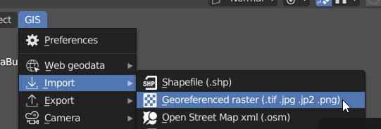
@magicalcloud_75 Did you import the grey landscape using BlenderGIS ? If not then you would need to use blenderGIS to import it and then import the google satellite image.
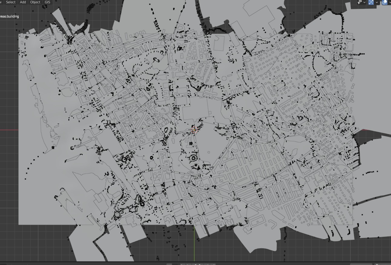
Using the BlenderGIS tools it is easy to build the model. That is good! But it is kind of hard to make it a textured FBX. How is this done? The other question and challange i have is to have a more detailled model. The default blender service is 30mx30 m, that is not precise enough. Still a lot to learn and explore! Thanks.
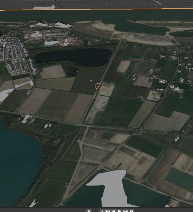
Basic DTM with BlenderGIS
FBX export / import fails to encorporate textures Why?
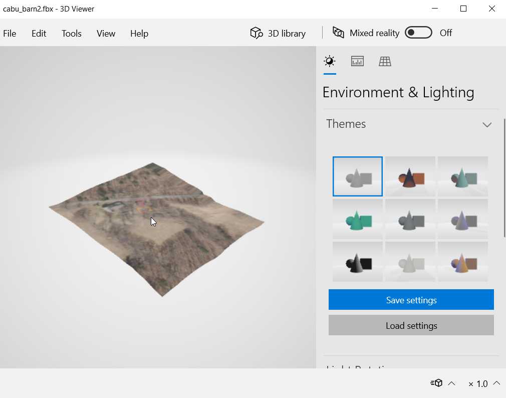
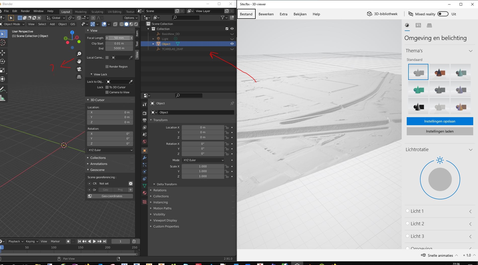
I think i watched the video of making a DTM. I wonder, is the image INSIDE the FBX? I get different results with different FBX compatible software. One does display it, the other one not. So i'm thinking, it is in there. But then again, a Blender import of the same FBX does not show it. So i am still confused here.
Maybe, but i can only use fbx. Sketchup can import and export both with textures. Needs some testing.
M
by magicalcloud_75 on 13 Dec 2020, edited 13 Dec 2020#
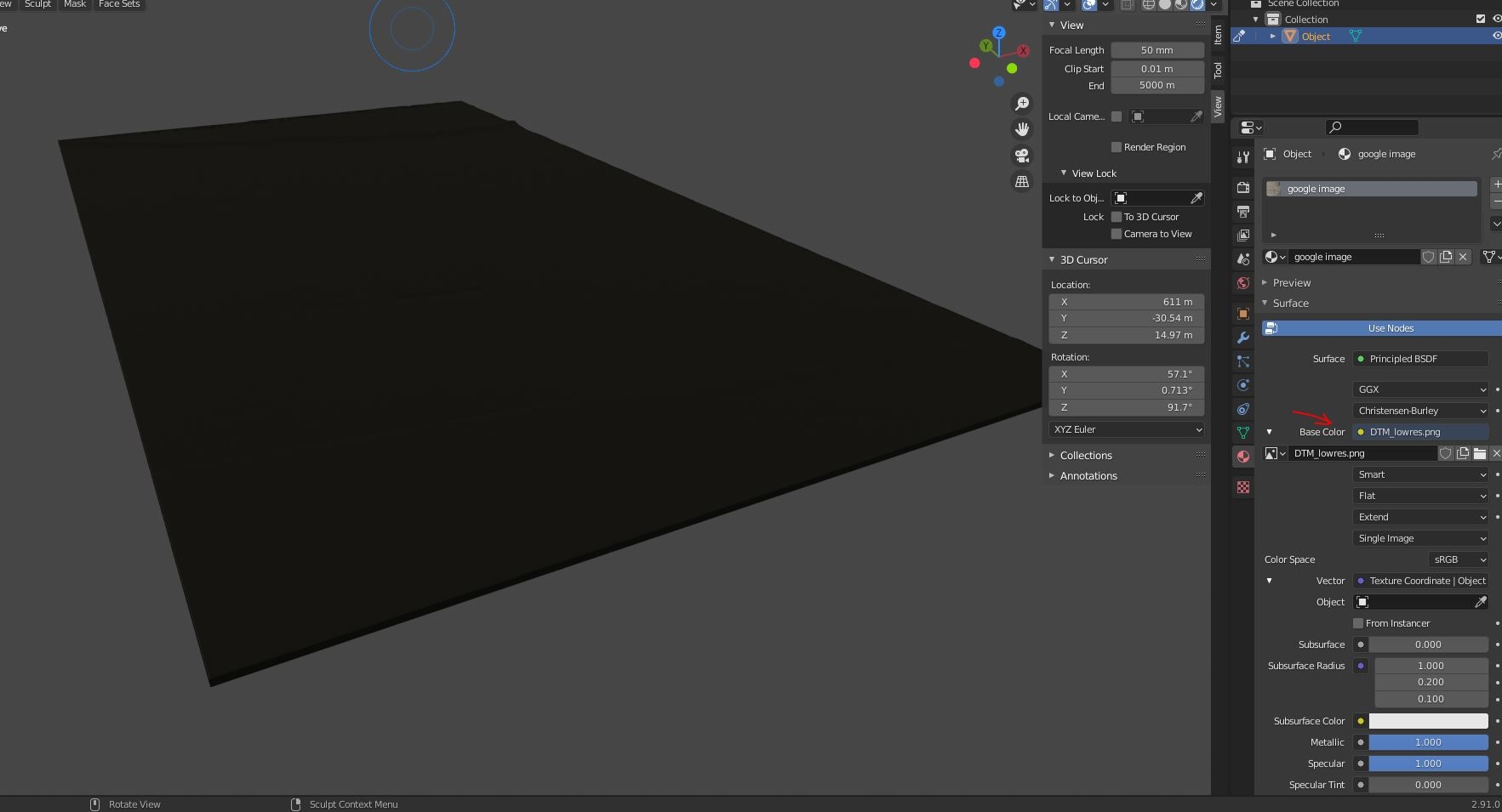
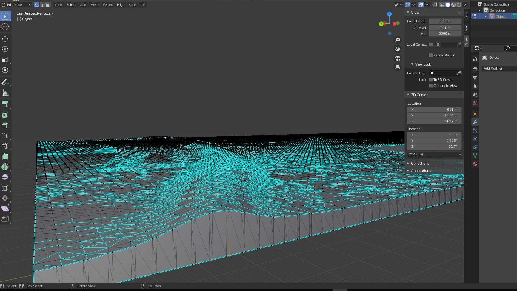
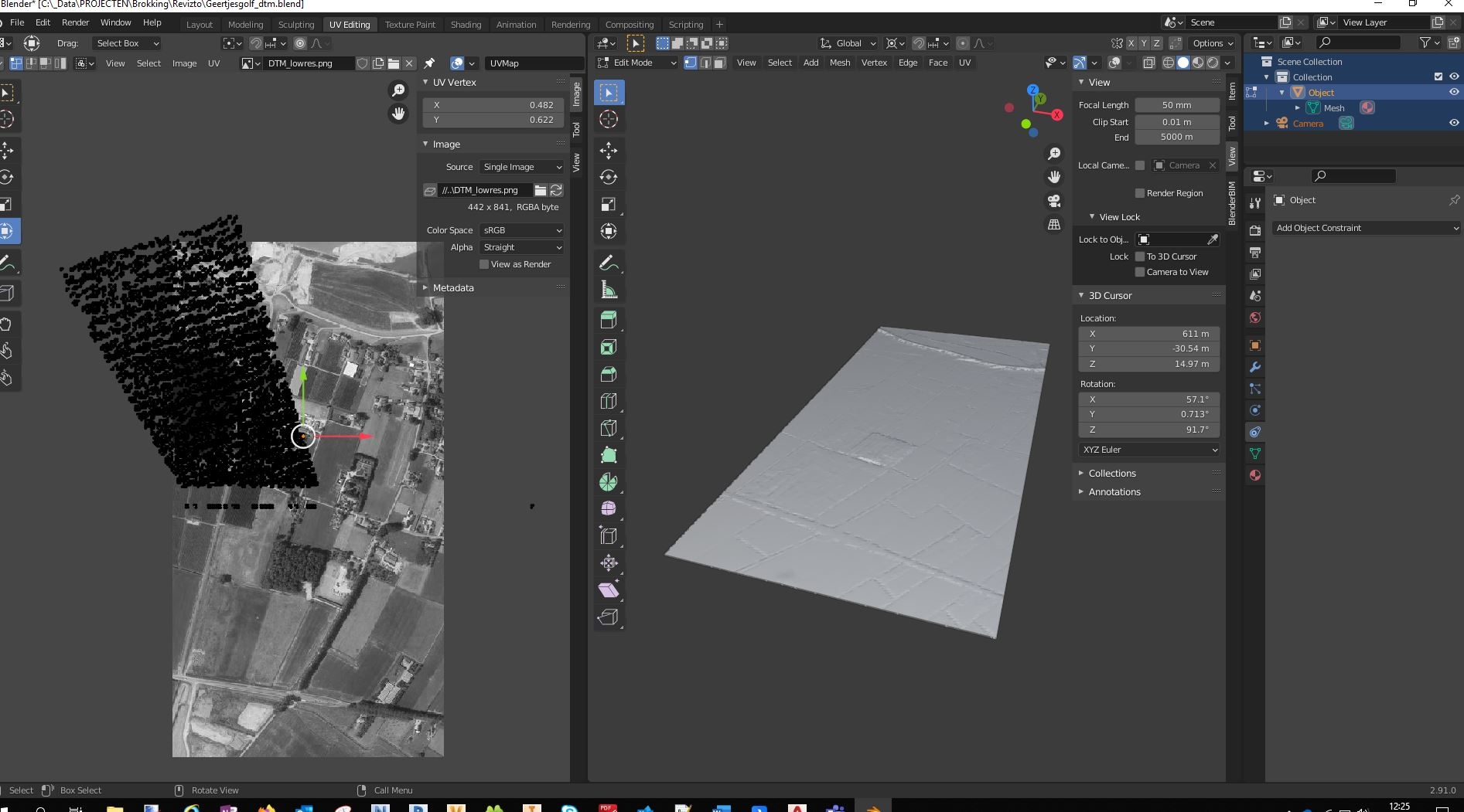
BlenderGIS does magic things on a larger scale MAP. But i am struggling to get a detailled DTM. Imported the DTM is an FBX file from a CAD TIN. I think this is the only path here. Now i use the materials and image with a lowres image. Why does it display black? thx.
In the first screenshot it looks like you're in rendered mode with no lights in the scene. Hence it is black. You can switch to material preview mode, or add some lights.
@magicalcloud_75 jump on the live chat and let's do a screenshare - it may be faster :)
M
by magicalcloud_75 on 15 Dec 2020, edited 15 Dec 2020#
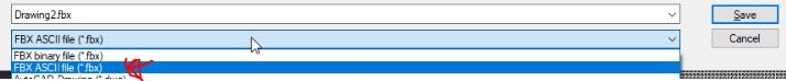
The easiest workflow for me is to use CAD 2 FBX to make a surface. But I am not able to get a visual. I really have a interessting case/project and nice surface from XYZ Qgis. Would likt to combine this with actual heights for buildings form CityJSON through FME. It would be helpful of you could look at this and help me a liitle. I would appriciate it a lot.
I thought i might be the difference between binary and a ASCII FBX file but the last one files a error.
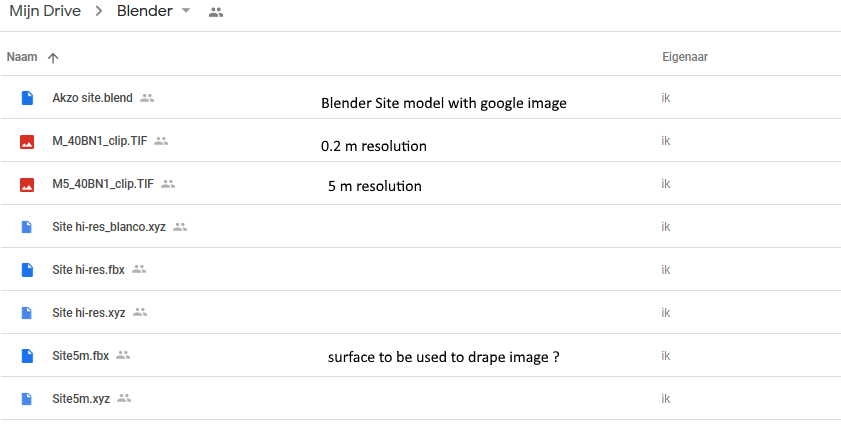
I put the hi-res and low-res in the Gdrive folder mentioned above.
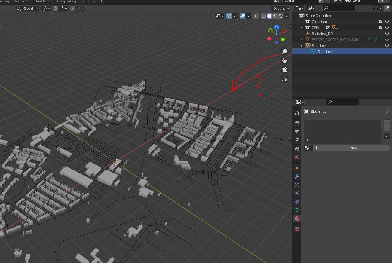
The object could be there, just very far away from the origin. That could explain why you see it in the outliner but not in the viewport. You can use "Frame selected" to zoom to it, but ultimately you'll need to pull it to the origin if that's the reason.
I'm struggling to keep track of the workflow you're trying to achieve here - happy to help, but I think it's best if you joined us on the live chat so we could see what you were doing and where it fails.
M
by magicalcloud_75 on 15 Dec 2020, edited 15 Dec 2020#
Moult, just trying to get a image on a surface. A far-away surface! :)
I managed to get it into a .ply file (other treat).
Maybe better luck with .ply. Unfortunately no display either.
But i upload it to the same folder. (200 mb Site hi-res.ply)
So my problem really is about getting something in a view.
M
by magicalcloud_75 on 26 Dec 2020, edited 26 Dec 2020#
The frustrating about following any blender tutorials is the seemingly constant changing of interface.
Where the hell is that Shading/UV's panel??
M
by magicalcloud_75 on 26 Dec 2020, edited 26 Dec 2020#
The challenge is this:
A detailled terrain. As FBX or some other way.
Drape aerial image over it
Import CityJSON of buildings (NL). OSM in BlenderGIS is no good. For me, this purpose.
note:
The actual height of builings is crucial INFORMATION as this has a effect on the plan for filling in the area. A fixed or random value does not give the right visuals. This can only to confusion.
Import and maybe filter / clip Laserscandata for the surrounding object like trees and street furniture
I want to be able to make this with BlenderBIM/BlenderGIS/FreeCAD ;-)
I can dot this DWG software. But it is kind of slow, Blender may have better core functionality to handle it probably
Raw data can be found in shared folder. All public data