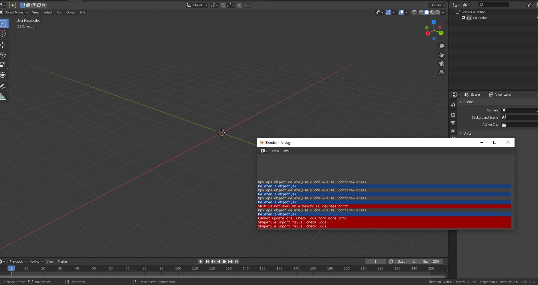
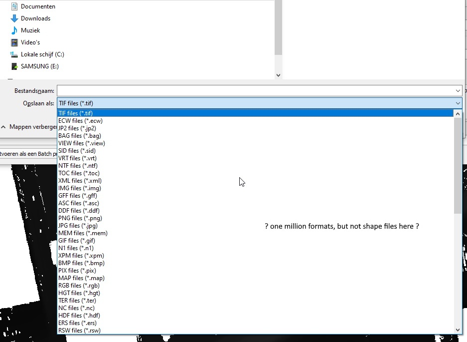
Okay, some other route than online services. I have perfected my workflow to make xyz files the right way so i can use this in my BIM/CAD programs. I think best way to import mesh CRS correct into Blender is to make a shp file from GIS data as first step. The challenge here is that seem not so easy to make geotiff into shp. There are a lot of formats supported in Qgis but save as .shp is not there? Is this a raster versus vector issue? I tried LATtools and it makes one but it becomes unreadable in both Qgis and Belnder.
Maybe it will be a dumb question to ask on dutch GIS forum but i will ask anyway. :P
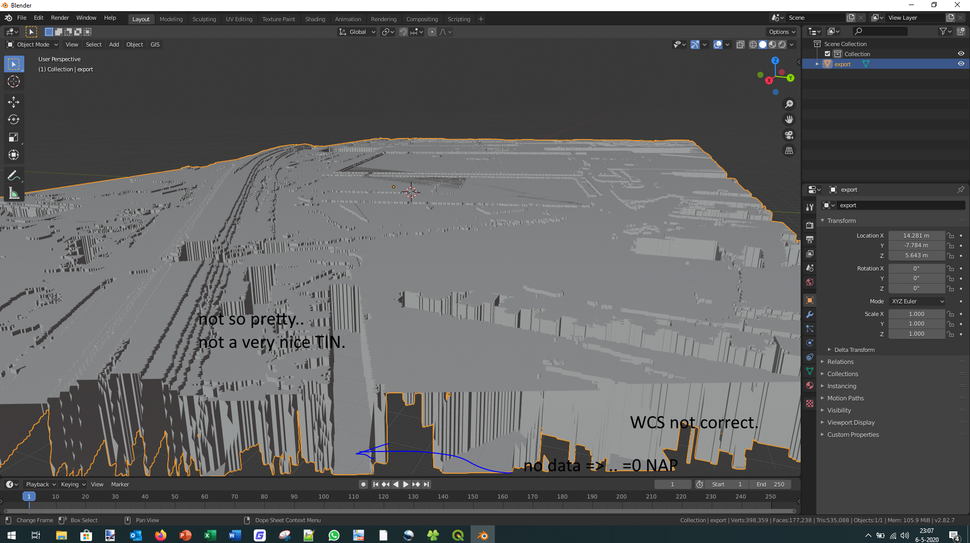
Replying to your previous post, actually it seems to me that blender's decimate modifier does quite a good job at "smoothing" the blocky aspect coming from extruding the raster. But qgis might have better tools for that too. I'm interested in working with contour lines too to recreate the surface, because it gives beautiful topology. But recreating faces between the contour lines is a complicated affair, there are all kinds of holes and weird situations... Maybe best to stick with meshes for terrains anyway..
I have found that the QGIS interpolation algo is good for making a TIN from contours because it uses the contours as breaklines plus you can add additional breaklines and control how the triangles are created. Unfortunately it only gives you a raster and 2D TIN lines. I add Z vales to the TIN lines from the DEM. I then bring the 3D TIN lines into Blender using the BlenderGIS addon. Where I merge the vertices by distance and press F to add faces creating a well defined site surface that is easy to edit.
I was going to post some screenshots but I can't seem to do that right now. I'll try in a bit.
Great! I wonder, can this kind of site design (imported gis data) be converted to IFC. Surely there are some kind of 'site classes' in which it can be stored. Can it?
@magicalcloud_75 there is survey point geometry storage in IFC, and IFC also supports absolute and transformed GIS CRSes, and with the new infrastructure additions in IFC4x3, there are quite a few classes for it to be stored in.
With BlenderGIS (import/export shapefiles) and BlenderBIM (import/export IFC) it does seem like going back and forth is possible with Blender as the an intermediary. FreeCAD might also work as an intermediary.