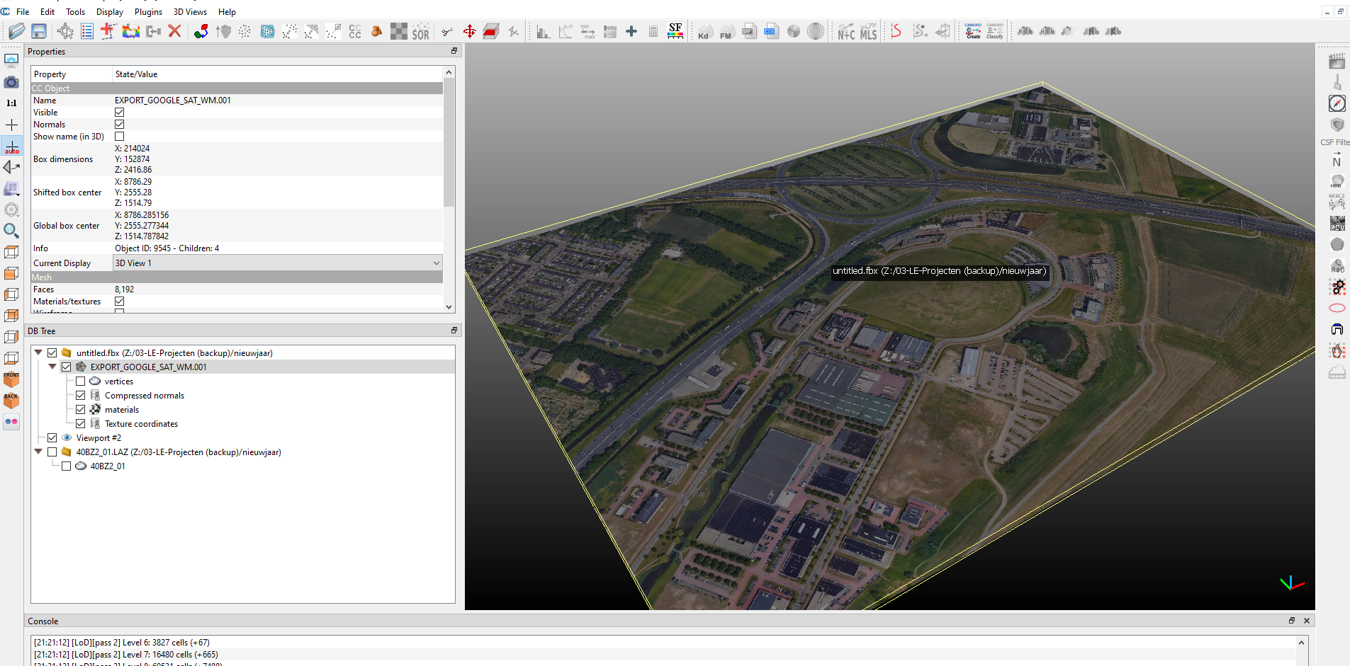
FBX is a very useful format for displaying topo and satelite images in BIM software.
What is really hard is the georeferencing aspect. in both BelnderGIS and Blender itself.
I just don't t understand how it works.
FBX is a very useful format for displaying topo and satelite images in BIM software.
What is really hard is the georeferencing aspect. in both BelnderGIS and Blender itself.
I just don't t understand how it works.
The XY position (NL) seems ok but there is something wierd with the scale.
X' =/ Y'
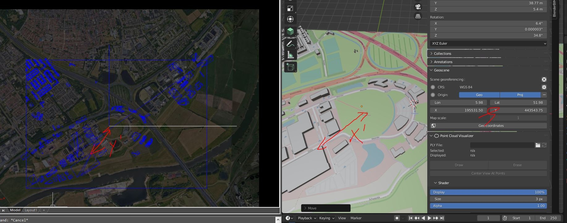
Could be a projection error, wrong CRS.
At high/low latitudes wgs84 like "mercator" projections create huge deformations.
I don't quite understand how CRS can be assigned. But it looks more like a units problem. The 0,0 point looks good. Not the scale.
Login or Register to reply.