M
by magicalcloud_75 on 30 Apr 2022, edited 5 May 2022
#
Anyone famiiar with getting the RGB colors of scandata over?
I manage to get them in the right spot.
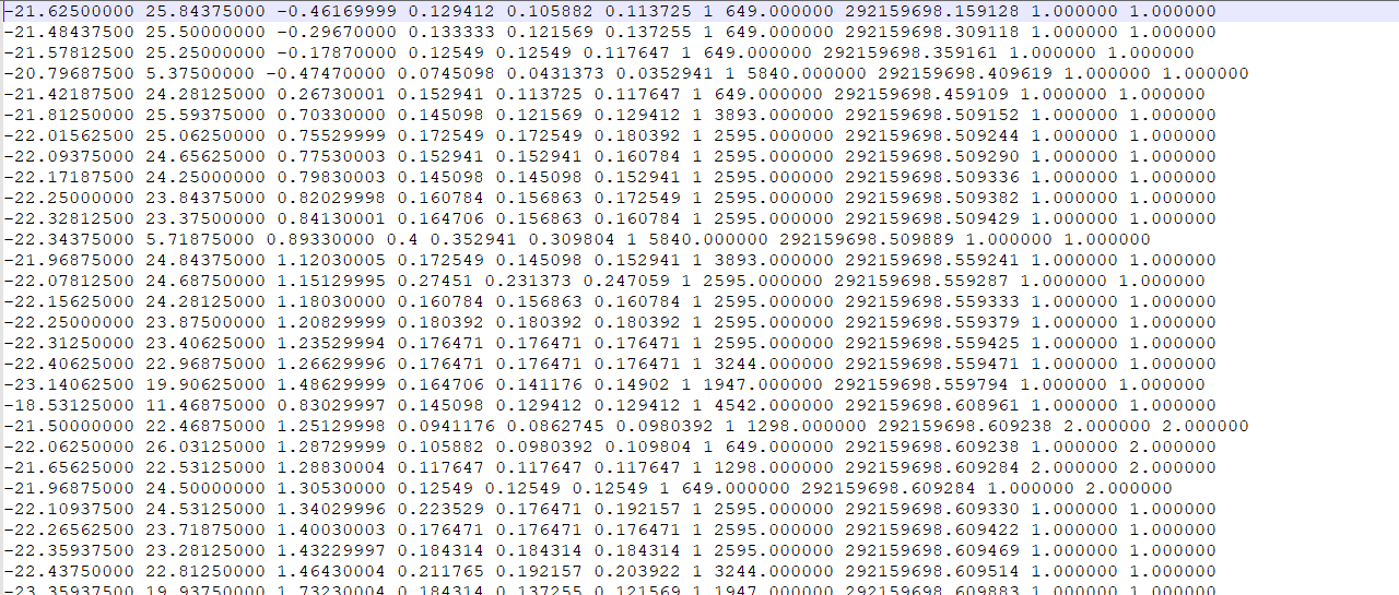
I think colors are not stored in the .pts files (using CloudCompare)
Documentation suggests otherwise. How to het colors?
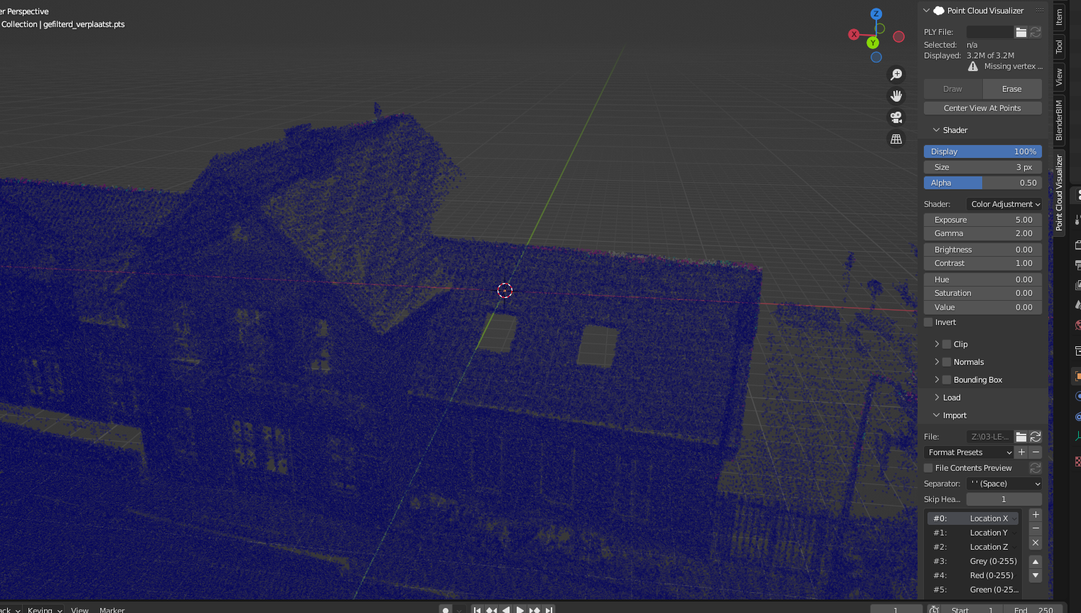
Cloudcompare prep
pts format, they are gone?
M
by magicalcloud_75 on 1 May 2022, edited 1 May 2022
#
+6 votes
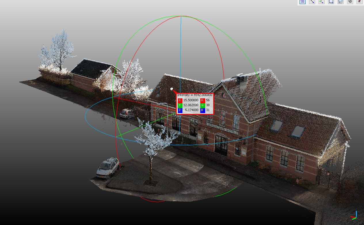
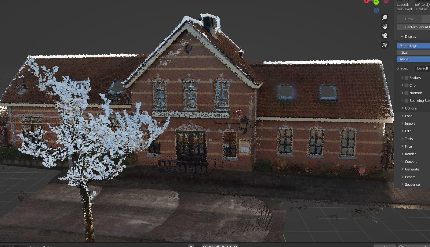
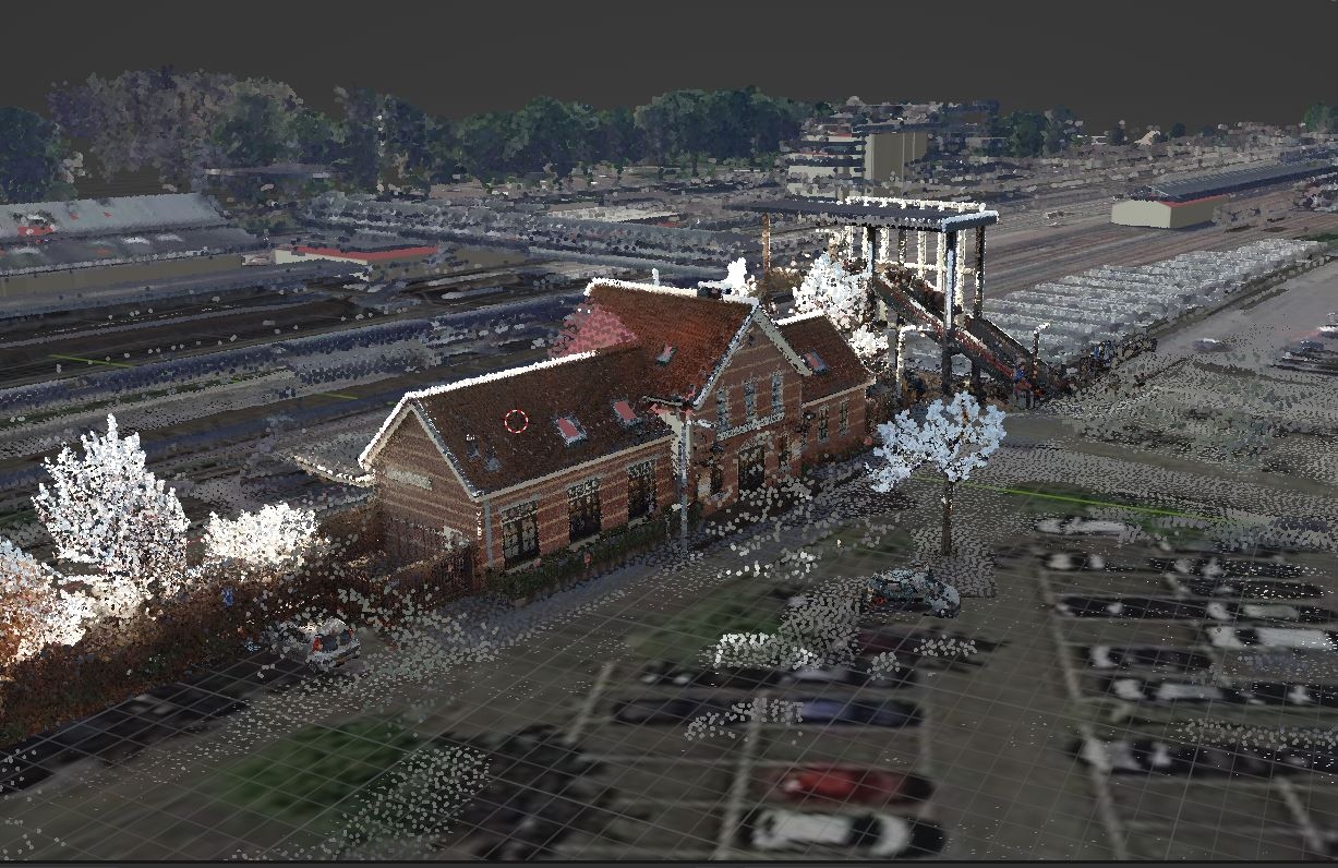
Solved !
Using version 2.0 , ply from CloudCompare
G
by Gorgious on 3 May 2022
#
Nice ! Are you overlaying the PC over BlenderGIS data ?
C
by camontellano on 4 May 2022
#
Hi, just being curious. How big is your Point Cloud? I wanted to manage a Point Cloud of around 5Gb, and it was not manageable.
G
by Gorgious on 4 May 2022, edited 4 May 2022
#
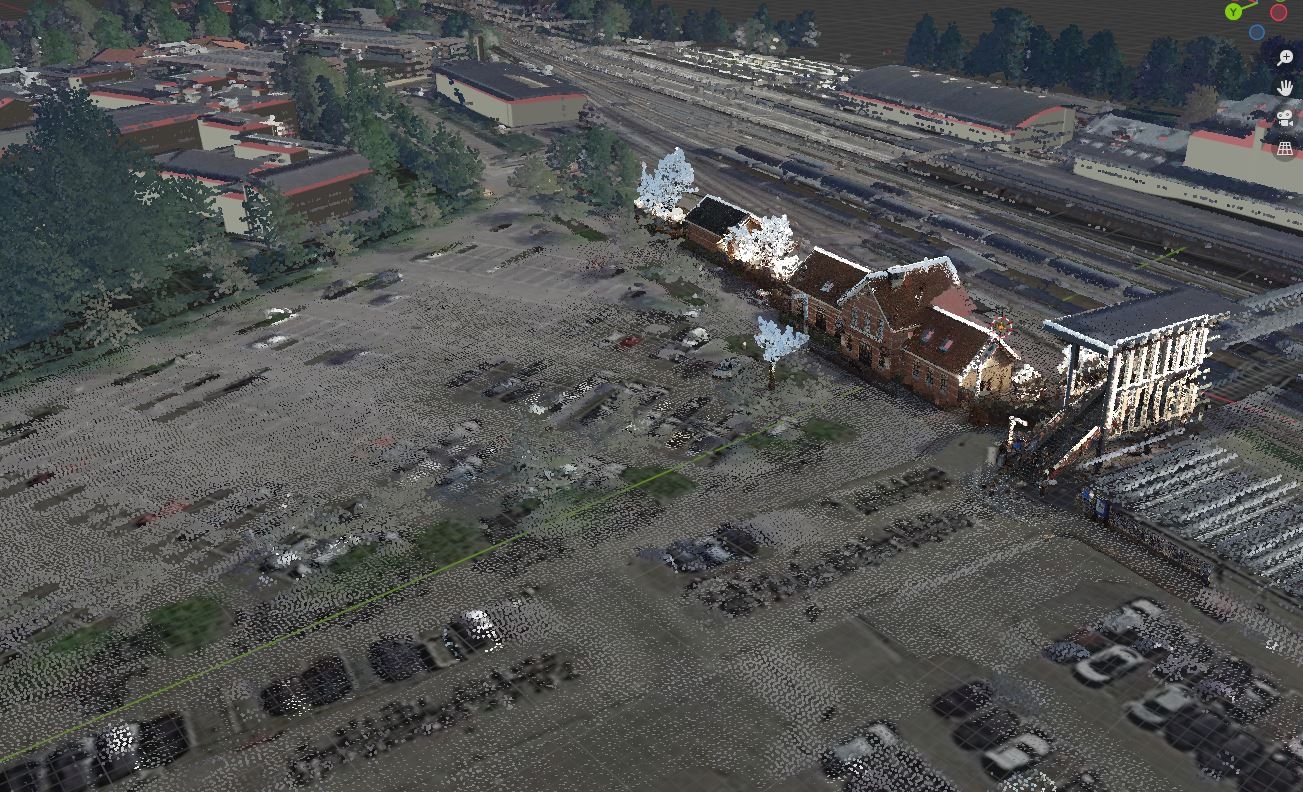
I found with a mid grade computer that around 100M points was manageable (around 1.5 Gb without color). Upwards of 100M it became very laggy or even crashed due to not enough RAM. I advise you to use the dynamic clipping feature that lets you display only a part of the PC, or to dynamically decimate the PC on import
Looking at the first screenshot this PC seems to have only 3M points
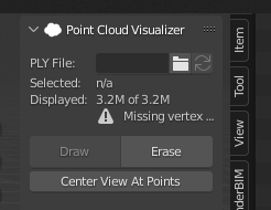
which would be around 100 Mb of data
M
by magicalcloud_75 on 5 May 2022
#
@Gorgious said:
Nice ! Are you overlaying the PC over BlenderGIS data ?
Yes. BlenderGIS + AHN addon + Pointcloud visualiser
Geotiles.nl subdevides pc data to around 300 mb. That's about manageble.
I want to check and verify if coordinates are done right. I have doubts.
But for now... it makes nice pictures ;)